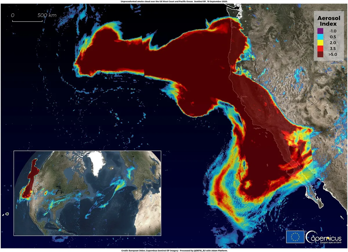
Forests collapse faster than human observers can track them, yet a repurposed satellite instrument is now catching the decline well ahead of time. Researchers at the University of Utah discovered that a tool built primarily for atmospheric chemistry can serve as an effective early-warning system for forest death. Work published in September 2026 by the University of Utah and covered by Scienmag revealed that solar-induced chlorophyll fluorescence readings from TROPOMI—the Tropospheric Monitoring Instrument aboard Europe's Copernicus Sentinel-5P—dimmed in Western U.S. conifer forests roughly two years before USDA Forest Service aerial surveys detected bark-beetle mortality in those same locations.
Led by Lewis Kunik and appearing in Remote Sensing of Environment (DOI 10.1016/j.rse.2026.115550), the study makes a narrower but operationally significant claim: it does not forecast which individual trees will perish. Instead, it demonstrates that at the landscape scale, a physiological marker too faint for human eyes and largely invisible to standard greenness measurements shifted first—and shifted in ways that drought stress alone could not explain.
The invisible red signal that conventional indices overlook
Solar-induced chlorophyll fluorescence, or SIF, emerges as a byproduct of photosynthesis. When chlorophyll captures sunlight, a tiny portion of that energy radiates back as a faint red glow—too dim to perceive from ground level, yet detectable from space by sensitive spectrometers able to isolate it from reflected light. The critical advantage: this glow reflects how effectively plants actually convert absorbed light into chemical energy. When vegetation experiences stress, that efficiency declines, and the glow weakens.
For evergreen species, this distinction proves particularly valuable. Pines, spruces and firs retain their needles even while metabolically dormant, keeping canopy appearance and structure relatively unchanged despite slowed photosynthetic activity. Conventional indices based on visible greenness or canopy shape—including NDVI—therefore register a forest that appears healthy. The Utah team found that SIF and a derived metric termed SIFyield responded both earlier and more sensitively than other canopy measurements tested, including land surface temperature and NDVI.
TROPOMI was selected for its broad coverage and frequent revisits rather than spatial precision. Though engineered for atmospheric chemistry rather than vegetation monitoring, its expansive viewing swath and near-daily observations enable the kind of sustained time-series data that tracking physiological shifts over multiple years demands. The analysis employed TROPOMI SIF data gridded at 0.05°—approximately 5 km resolution—paired with MODIS vegetation datasets and tree-mortality records across the western United States from 2018 to 2023. At this scale, each measurement represents a stand-level average rather than individual trees.
A two-year advance signal and a 10–20% gap versus drought-matched forests
The study's comparison framework prevents drought from becoming the sole explanation. Researchers paired disturbed zones with biogeographically comparable control areas experiencing minimal wildfire or beetle damage—controls spanning 2011 to 2023 according to the University of Utah announcement—and applied bootstrapping to verify the differences held statistical weight. These control forests endured comparable drought stress. Their SIF declined as expected from drought-affected plants. Yet the paper shows this decline was 10–20% less pronounced than in stands subsequently infested by beetles.
The implication is clear: drought was a factor everywhere, but something additional occurred in the stands destined to die. Across moderate-to-severe beetle mortality zones, the paper's abstract indicates growing-season SIF fell to 60–70% of pre-drought levels and remained there across successive years.
Wildfire served as the validation framework for a straightforward reason: burn severity can be quantified far more precisely than beetle activity, which spreads irregularly, unfolds across years, and typically enters records only after crowns turn red. When tested against fire, SIF declines aligned with the degree of vegetation loss, dropping as low as 20% of pre-fire levels in the most severely burned areas. The paper characterizes wildfire impacts as more predictable than beetle effects—which is exactly why fire provided an appropriate benchmark before applying the same approach to insect damage.
The author roster reflects a blend of remote-sensing and forest-health specialties: Kunik, who finished his doctorate at the University of Utah under joint mentorship from John Lin in Atmospheric Sciences and David Bowling in the School of Biological Sciences, collaborated with Brett Raczka (Utah and NCAR), Jeffrey Hicke (University of Idaho), Christian Frankenberg (Caltech), Rui Cheng (Claremont McKenna College) and Michèle Slaton of the Inyo National Forest, USDA Forest Service. Support originated from NASA's Carbon Monitoring System, an NSF Graduate Research Fellowship, Utah's Wilkes Center for Climate Science & Policy and a USDA Forest Service agreement.
What this signal does not do
The authors are explicit about constraints. As noted in the University of Utah coverage, Kunik describes the goal not as predicting which specific tree will succumb, but as identifying areas warranting attention early enough for managers to conduct ground investigations, mobilize response teams, secure resources or otherwise prepare before mortality spreads. This functions as a triage alert, not a clinical diagnosis.
SIF fluctuates for numerous reasons. Drought, insects, canopy loss, seasonal timing shifts, sun angle and understory composition all influence the measurement. While the team addressed multiple factors, attributing a single year's SIF change to one specific cause remains challenging. The paper documents a consistent pattern across this work; it does not establish a universal detector, and no operational system or Forest Service implementation exists yet.
The carbon angle represents the authors' own prospective view rather than a confirmed outcome. Since SIF serves as a signature of plant CO2 uptake at regional and global scales, they propose it could monitor whether recurring disturbance diminishes the carbon-absorption capacity of Western forests—and whether those forests eventually transition from carbon sink to carbon source. Lin identifies ESA's FLEX mission as the logical successor, delivering higher-spatial-resolution fluorescence data than TROPOMI currently provides.
For the present, the assertion stays deliberately restrained: a coarse, satellite-derived physiological marker that dimmed in Western conifer stands roughly two years before aerial surveys documented dead trees—a landscape-scale warning signal meriting further investigation, not a predictive map of which trees face imminent death.
Source: Silicon Canals